HEMS & Molecular Hub: Digital Critical Infrastructure
Project of the new Zaiera air ambulance base: professional NVIS 3D rendering and functional infrastructure layout with technological nodes.
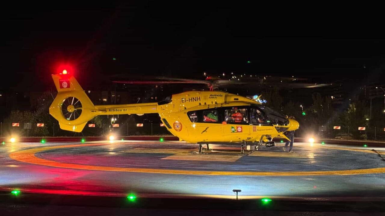
Operational NVIS 3D Rendering: advanced Operational Concept visualization (spectrum-controlled lighting, runways, hangars, and landing area).
Integrated Technology Map
Spatial representation of hardware nodes and scientific validation areas.
- Infrastructure Digital Twin: The map (available in interactive SVG format) identifies the strategic location of the project's core components:
- mmWave Sensing Nodes (60-77GHz): Capillary sensor network for contactless biometric monitoring (Living Lab and Critical Areas)
- Neural Hub: Edge-AI processing unit (Powered by Xenia) for infrastructure Digital Twin management.
- Strategic HEMS Platform: Digitalized landing and take-off area with NVIS corridors and rapid refueling systems
- Clinical Validation Laboratory (CNR-IRIB Protocol): Laboratory dedicated to clinical validation and scientific research on vital signs
- Technical Note: The map is structured on independent layers to allow the overlay of data flows and simulation of 24/7 rescue scenarios.

Operational Specifications and NVIS Systems
The Zaiera Hub is designed as a Digital Critical Infrastructure node, where physical security merges with technological precision.
- NVIS Optoelectronics Systems: Integration of spectrum-controlled lighting systems for tactical night operations. Designed for alignment with EASA (European Union Aviation Safety Agency) standards for NVIS operations.
- mmWave Sensing Architecture (60-77GHz): A capillary network of high-frequency radar sensors monitors critical entrances, clinical validation areas, and the entire central Hub in real-time. This Safety Intelligence bubble ensures constant biometric and environmental monitoring without the use of cameras.
- Advanced HEMS Infrastructure: Instrumental approach corridors and digitalized landing surfaces, optimized for rapid refueling procedures and operational readiness for rescue flow support.
Evaluator Area: photorealistic 3D renderings, technical layouts, and georeferenced vector maps are available for download in the Transparency Reserved Area (Protected access for Entities and Partners).